
Bignonia sciuripabulum (Schumann 1894: 224) Lohmann
|
publication ID |
https://doi.org/10.11646/phytotaxa.570.2.4 |
|
DOI |
https://doi.org/10.5281/zenodo.7256625 |
|
persistent identifier |
https://treatment.plazi.org/id/03EDCC69-EB5F-EC47-FF38-0AD44520FDDA |
|
treatment provided by |
Plazi |
|
scientific name |
Bignonia sciuripabulum (Schumann 1894: 224) Lohmann |
| status |
|
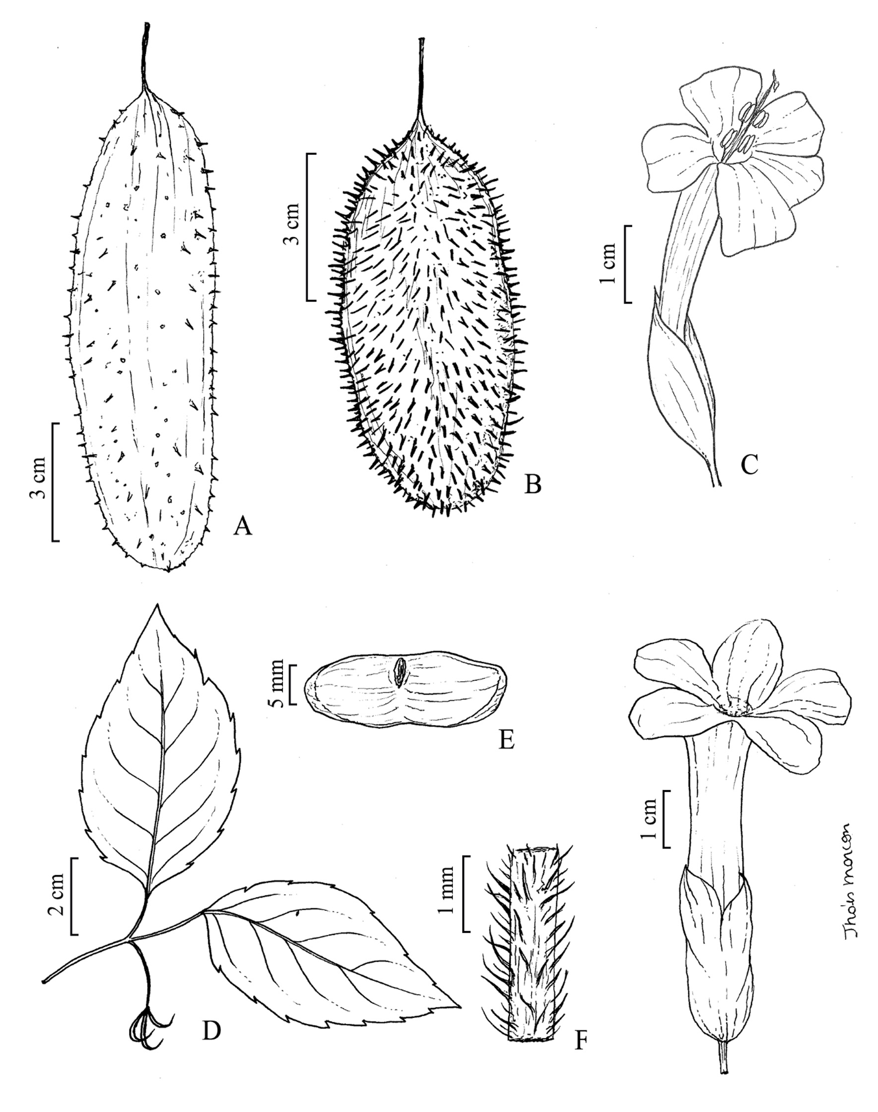
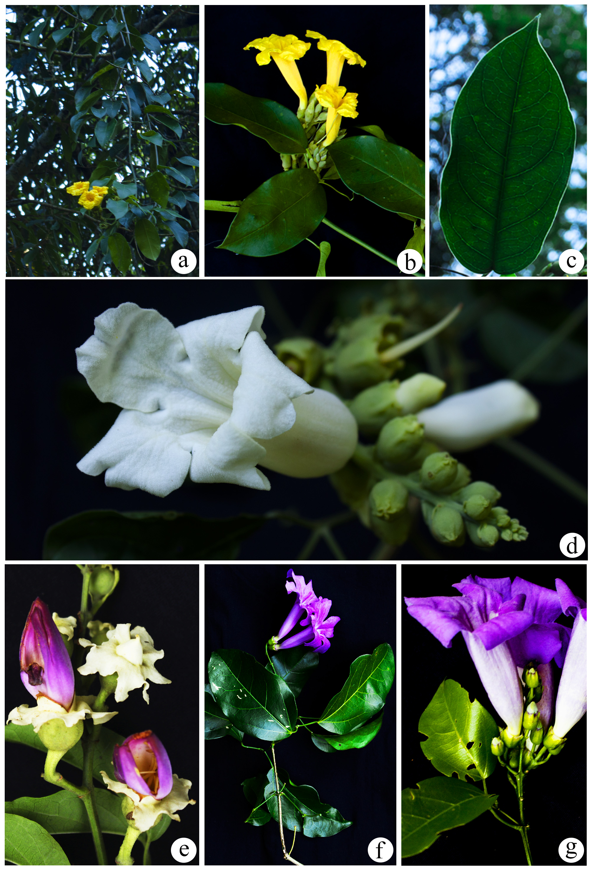
3.2. Bignonia sciuripabulum (Schumann 1894: 224) Lohmann View in CoL in Hokche et al. (2008: 272) ( Figs. 4 b View FIGURE 4 , 5 g View FIGURE 5 ).
Diagnosis:— Bignonia sciuripabulum can be recognized by the tetragonal and winged stems ( vs. cylindrical and not winged in B. binata ), and inflorescences thyrsoid ( vs. racemose in B. binata ).
Reproductive Period:— Flowering throughout the year, fruiting in October and November.
Distribution and Habitat:— It occurs in Argentina, Brazil, Bolivia, Colombia, Ecuador, Guyana, Paraguay, Peru, and Venezuela ( Lohmann 2010, Lohmann & Taylor 2014, Zuntini et al. 2015). Within the study area, it was registered in all areas, in sympatry with B. binata .
Selected Specimens Examined:— ARGENTINA. Misiones, Parque Nacional Iguazú : Puerto Iguazú , Sendero Yacaratia , 30 October 1995, Herrera 100 (CTES!) . BRAZIL. Paraná, Parque Nacional do Iguaçu: Foz do Iguaçu , 25°37’18.3”S, 54°26’45.9”W, 11 October 2009, Temponi (UNOP!) GoogleMaps ; Céu Azul, estrada entre Céu Azul e Matelândia , 25°12’21.0”S, 53°51’57.8”W, 21 August 2015, Caxambu 6821 (HCF!, MBM!) GoogleMaps ; Capanema , margens do Rio Iguaçu , 23 February 2016, Hammes 98 (UNOP!) .
No known copyright restrictions apply. See Agosti, D., Egloff, W., 2009. Taxonomic information exchange and copyright: the Plazi approach. BMC Research Notes 2009, 2:53 for further explanation.
|
Kingdom |
|
|
Phylum |
|
|
Class |
|
|
Order |
|
|
Family |
|
|
Genus |